The Madimbo Corridor, is a northern military base in the Limpopo Province that borders Zimbabwe in South Africa, and is contiguous with the Matshakatini Nature Reserve. It is controlled by the South African National Defence Force and used as a military training zone and a cordon sanitaire.
History
Pre-20th century
In the 19th century, local residents began to encounter other groups of people in Africa, mainly commercial hunters. For a time, the hunters and settlers were able to coexist through trades of ivory and skin. However, these relations began to deteriorate with the increase of sport hunting and the introduction of land policies in the late 1890s.
Colonial expansion
Beginning in 1871, colonists sold land to cattle farmers as a means to expand their control of the area.
Establishment to Present day
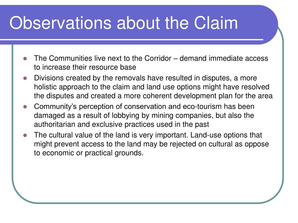
In 1969, The base was established after the forced removal of villages in the area. During this time, the base served under the South African Defence Force as one of the country's protective barriers from attacks in neighboring countries. Additionally, in 1992, the corridor established the Matshakatini Nature Reserve, sharing borders with the area.
Beginning in 1994, at the end of South Africa's apartheid government, actions were taken to move relocated villages back to the corridor.
Climate
The Madimbo Corridor experiences an arid to semi-arid climate, with extended dry seasons and shorter wet periods. Its annual maximum temperatures range from 38.1 °C (100.6 °F) to 44 °C (111 °F). Its annual rainfall averages to 450 mm (18 in) per year, with maximum precipitation of 460 mm (18 in) annually.
Agriculture
The Madimbo Corridor uses a semi-arid irrigation scheme.
References
Citations
Sources